

Trinidad and Tobago straddles the southern Caribbean–South American plate boundary, where oblique convergence and strike-slip motion partition between the Lesser Antilles subduction system to the northeast and crustal faults that cut across Trinidad. The Central Range Fault (CRF)—a steep, dextral strike-slip structure—traverses Trinidad and links kinematically with the El Pilar system in northeastern Venezuela2, forming a major zone of contemporary strain accumulation and release. Regional syntheses and geodetic studies1 identify these faults as active elements of a complex boundary in which plate motion is accommodated by both seismic slip and fault creep.
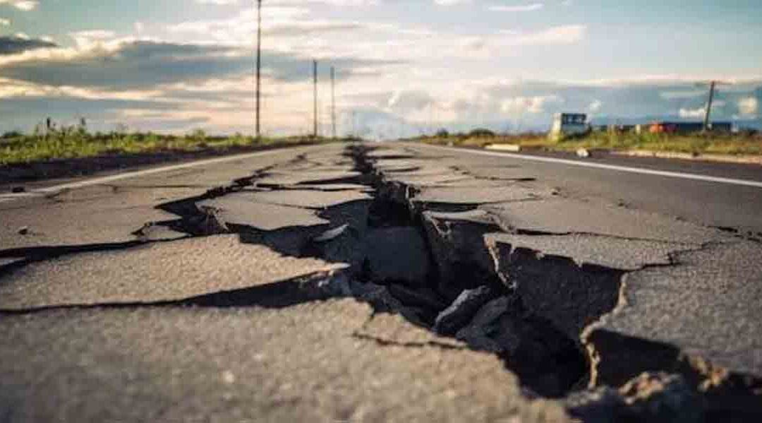
The historical and instrumental record shows recurrent moderate to strong shaking affecting the country. Notable events include the 22 April 1997 Mw 6.1 Tobago earthquake5,6, which caused structural damage and injuries, and a sequence in October 20138 (M 6.1 near Venezuela) felt widely across Trinidad. On 21 August 2018, a Mw 7.3 earthquake off Sucre, Venezuela7, produced long-period shaking that damaged nonstructural elements and disrupted services across Trinidad—an illustration of how large regional events can transmit significant shaking to the islands.
Probabilistic seismic hazard assessments (PSHA) for the Eastern Caribbean3 consistently indicate elevated hazard levels for Trinidad and Tobago relative to many Caribbean islands, reflecting proximity to active crustal faults and the subduction interface. Region-wide PSHA maps (logic-tree based)4 and country-scale studies yield peak ground acceleration estimates at return periods relevant to modern codes, while older site-specific work already flagged substantial hazard in Tobago. Current efforts move beyond national maps toward urban microzonation, with recent studies9 (e.g., San Fernando) integrating geotechnical data and shear-wave velocity profiles to resolve local amplification.
Translating hazard into risk depends on exposure and vulnerability of the built environment. Portfolio-scale profiles (e.g., GEM) emphasize concentrations of people and assets along the west and north coasts of Trinidad10, where site conditions (soft sediments, reclaimed or deltaic ground) may amplify shaking; this underpins the case for code enforcement, retrofit of critical facilities, and continuous monitoring. National outreach and technical programs led by the UWI Seismic Research Centre—including seismic microzonation guidance11—provide a framework for mitigation and preparedness that is increasingly aligned with international best practice.
- Churches, C. J. E., et al. (2019). Fault creep and strain partitioning in Trinidad–Tobago: Geodetic evidence for active dextral motion on the Central Range Fault. Tectonics, 38(12), 4330–4348.
- Jansma, P. E., et al. (1989/1990s synthesis cited in) Evolution of the Southern Caribbean Plate Boundary, Vicinity of Trinidad. AAPG Bulletin, 73(4), 490–509.
- LaForge, R., et al. (2011). Probabilistic Seismic Hazard Assessment at the Eastern Caribbean Islands. Bulletin of the Seismological Society of America, 101(5), 2499–2521.
- Lai, C. G., et al. (2018). Probabilistic Seismic Hazard Assessment Study for the Eastern Caribbean Region (report). UWI STA.
- Shepherd and Apsinall (1983). Seismicity and earthquake hazard in Trinidad and Tobago, West Indies. Earthquake Engineering & Structural Dynamics, 11(2), 179–192.
- UWI Seismic Research Centre (2010). Past, Present and Future Implications for Trinidad & Tobago.
- CCRIF SPC (2018). Event Briefing: West of Trinidad Earthquake, 21 August 2018 (Mw 7.3).
- Caribbean Journal (2013). Trinidad Shaken by 6.1-Magnitude Earthquake Near Venezuela.
- UWI SRC & Partners (2023). Trinidad and Tobago microzonation project: San Fernando. Geophysical Journal International, 233(3), 1727–1749 (abstract).
- Global Earthquake Model (GEM) (2024). Trinidad and Tobago seismic risk profile. PreventionWeb.
- UWI Seismic Research Centre (2021). Seismic Microzonation Studies – FAQ.